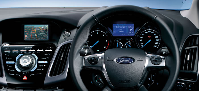
Ford Australia and New Zealand SYNC® Map Updates (excluding SYNC® 2 and SYNC® 3)
Frequently Asked Questions
How do we capture map data and updates?
The basis of this data is compiled from UBD digital map sources, road captured (GPS) data, and also includes additional information (such as navigation instruction coding for intersections, no-right-turns, lane information, speed limits etc) that is essential for navigational calculations.
How are errors reported regarding map data?
Anomalies for map details can be reported on-line.
How will I know what level of data I have in my navigation system?
The data level will typically be shown on your current map disc. For instructions on how to access the map disc you should see you navigation system handbook. (For guidance, the disc mechanism is typically found in either the glove box, the boot area, or under the front seat).
Are there other products using the Whereis® map data?
Whereis® provides map data for portable devices as well as internet systems.
Why do some streets not appear on my Navigation system?
Whilst we takes every effort to ensure it uses the latest information available, it cannot include road network changes that have occurred after the data has been compiled. Similarly, the map data base is an expanding compilation of information, with smaller road networks always being added to the data to further enhance its content.
Does my Navigation system contain things like school zones and speed cameras?
At this stage Ford do not use the school zone and speed camera location information.

